Shift the Perspective
PhasQ Analysis.
Physics-based Synthetic Aperture Radar analysis. All-weather, all-hour intelligence — where optical satellites go blind.
The shift from
optical to radar.
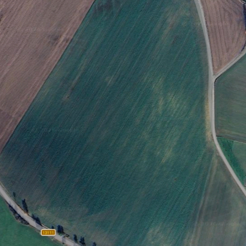
Drag the slider to compare standard optical imagery with PhasQ's phase-intelligent radar analysis.
One platform.
Every industry.
A single, physics-based radar intelligence engine — adapted to the data requirements and operational tempo of each sector.
Agriculture
Detect root-zone drought stress 14 days before optical visibility. Drive variable-rate irrigation and harvest decisions with physics — not guesswork.
Defense
All-weather persistent surveillance. Detect vehicle displacement, infrastructure changes, and subsurface anomalies through cloud cover and concealment.
Space
Ground station calibration, orbital debris tracking, and ionospheric monitoring for space operations and scientific research programs.
Finance
Independent verification of commodity yields for insurance underwriting, agricultural futures, and infrastructure asset valuation.
Operational
Roadmap.
Physics-based detection applied to real scenarios — with documented, measurable outcomes.

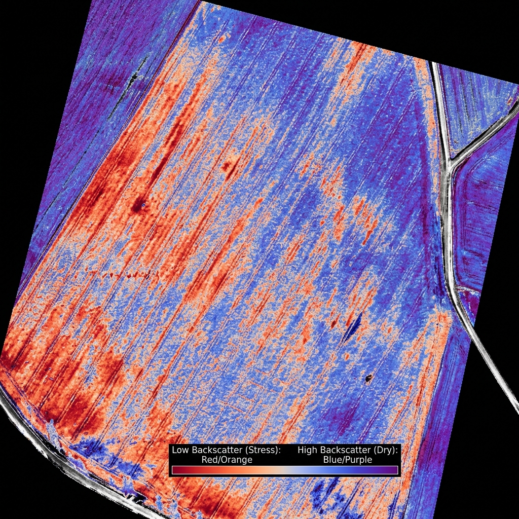
Invisible Drought Detection
The physics
advantage
Optical NDVI indices are lagging indicators — they only show stress after visible damage occurs. SAR radar detects subsurface moisture changes 2 weeks earlier. The difference between reacting and preventing.
Physics-First
We analyze raw Sentinel-1 radar backscatter — not optical imagery. Dielectric constant measurements from orbit. No AI hallucinations.
All-Weather
C-band SAR penetrates clouds, smoke, and total darkness. Intelligence when optical satellites are completely blind.
Zero-Friction
No GIS expertise required. Weekly reports, export-ready GeoTIFFs, and decision-ready maps delivered to your dashboard.
From satellite
to insight.
Define Area of Interest
Select your coordinates. We continuously stream calibrated Sentinel-1 GRD data for your exact location — no hardware needed.
Signal Processing
Physics-based pipeline converts raw SAR backscatter (σ⁰ dB) into moisture maps, subsidence fields, and structural health indices.
Intelligence Delivered
Reports, GeoTIFFs, and vector masks — ready for decision-making, not interpretation. Delivered weekly or on-demand.
Agriculture
Intelligence.
Coming soon: Crop health, soil moisture, and harvest readiness via Sentinel-1 SAR. Full orbital throughput for precision farming.

Access Required
Authentication protocol v2.1 // Q2 Release
Built by
scientists.
We bridge the gap between academic radar physics and real-world operational intelligence. From core physics to enterprise-scale deployment.

Petr Žák
GIS specialist and high-agency builder who re-engineered PhasQ's core physics engine in 14 days — replacing AI hallucinations with raw SAR signal analysis. Detects subsurface drought and hidden assets where optical systems see nothing.
LinkedIn ↗Incoming CTO
Leading engineering talent from US generative AI labs and European autonomous systems research. Arriving to scale our radar signal intelligence stack.
Research Fellows
Joint research initiatives focused on C-Band SAR interferometry and volumetric soil moisture estimation protocols.
Open Science
Community-driven ground truth validation and cross-sensor calibration for global drought indexing.
Get early
access.
Limited spots for the pilot program. Priority access for agriculture, infrastructure, and defense operators.
SECURE TRANSMISSION // 256-BIT ENCRYPTION